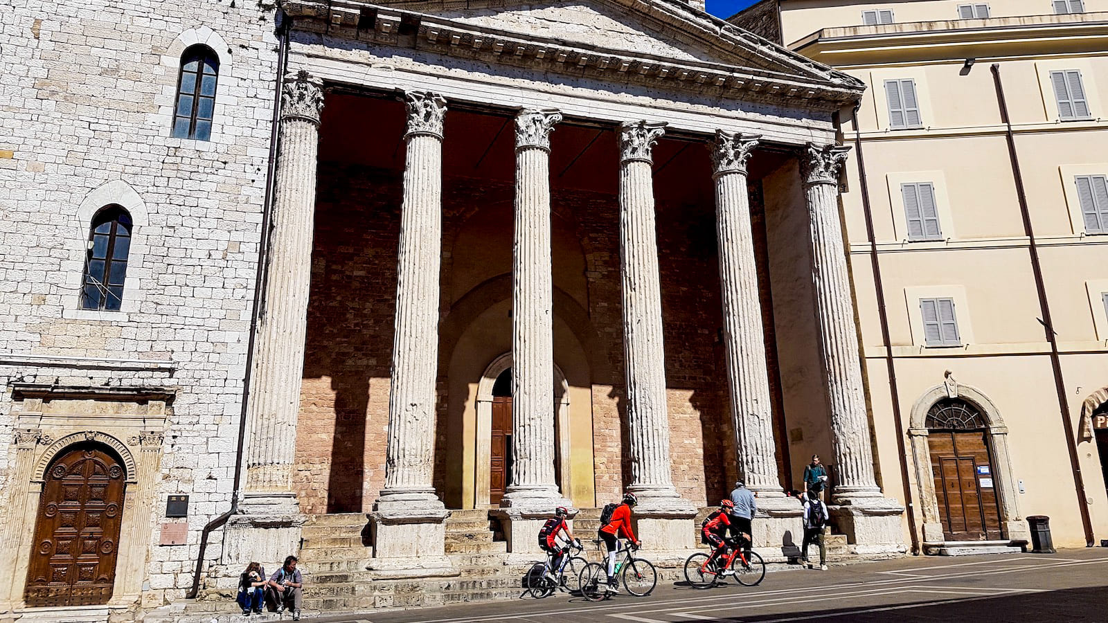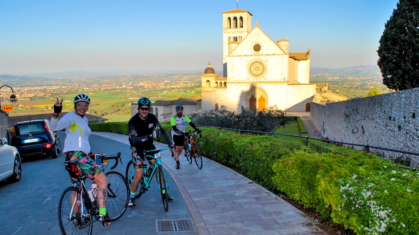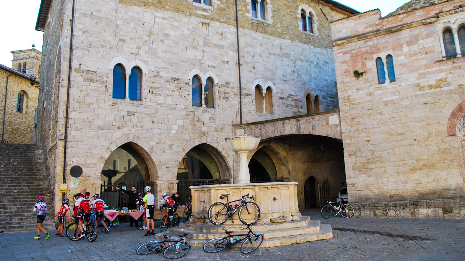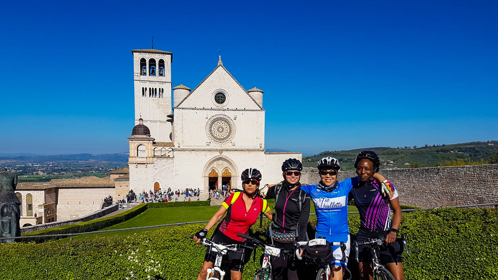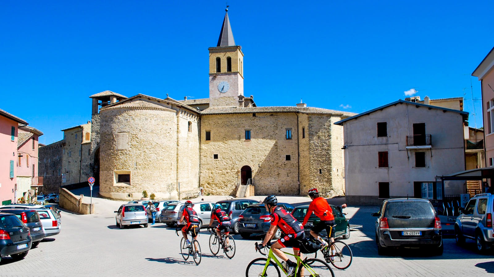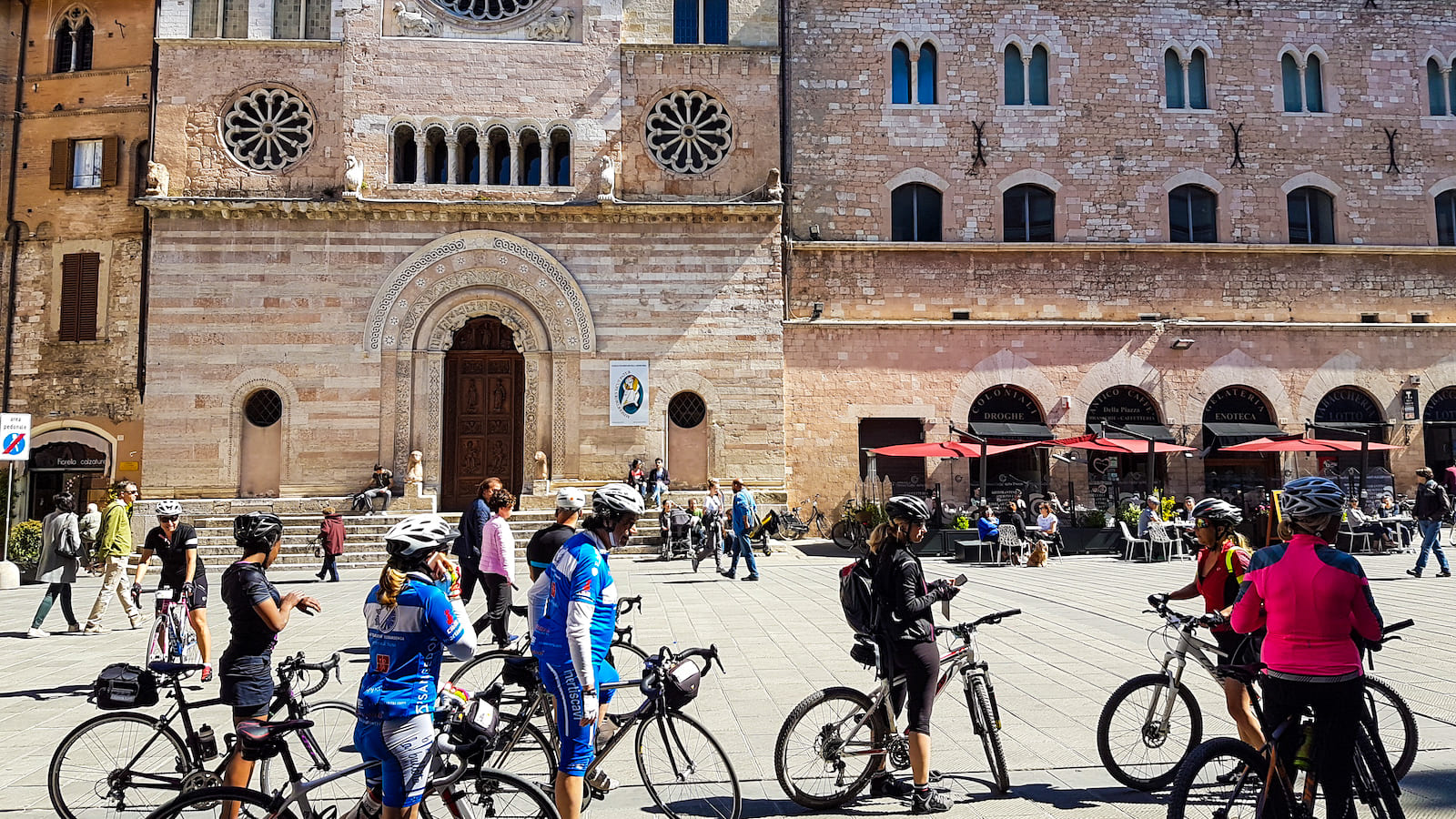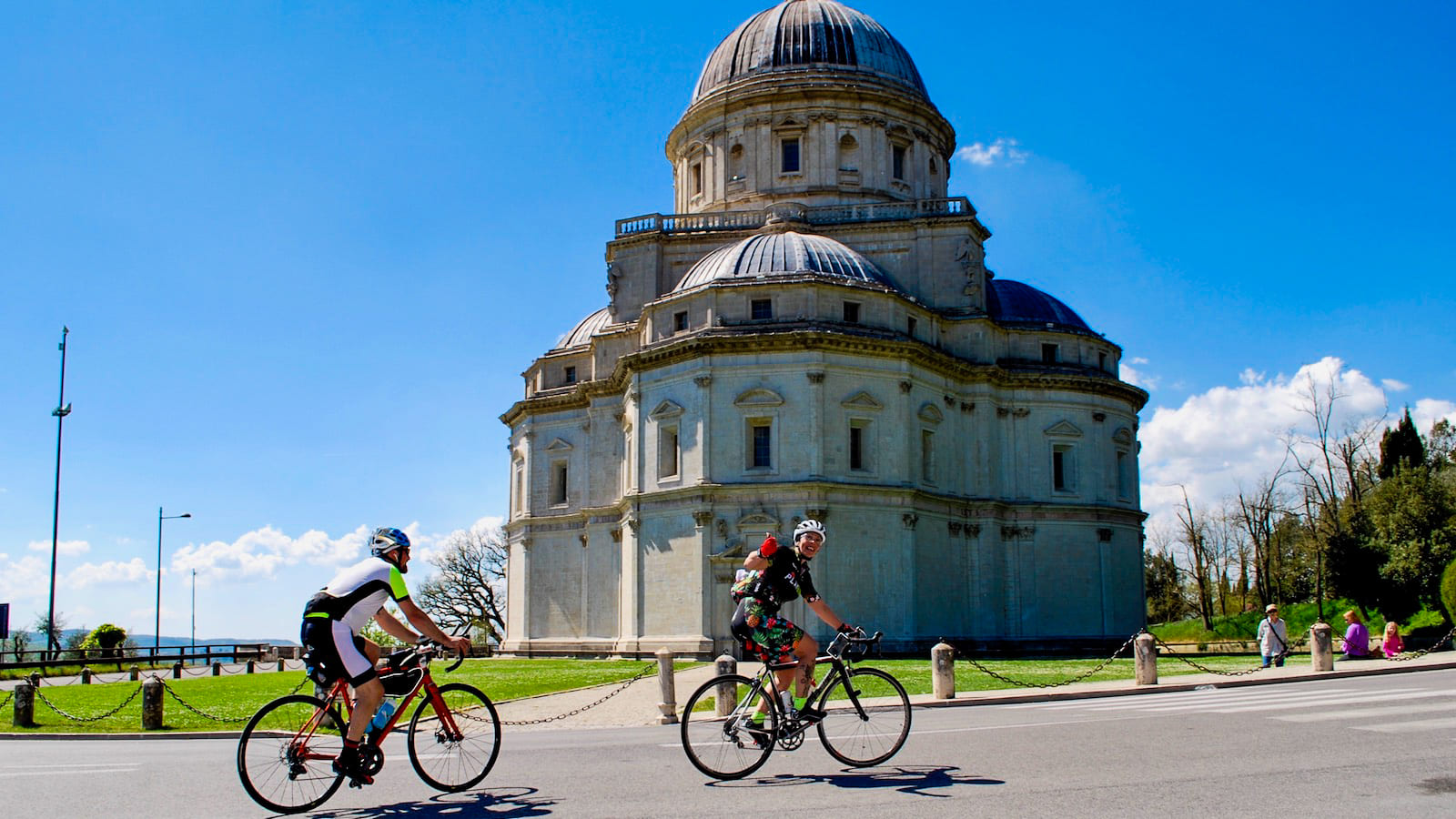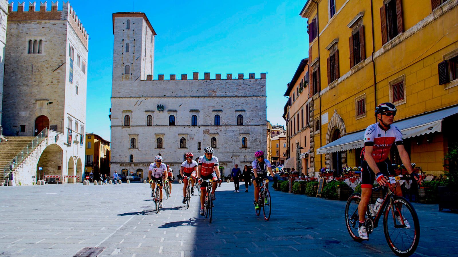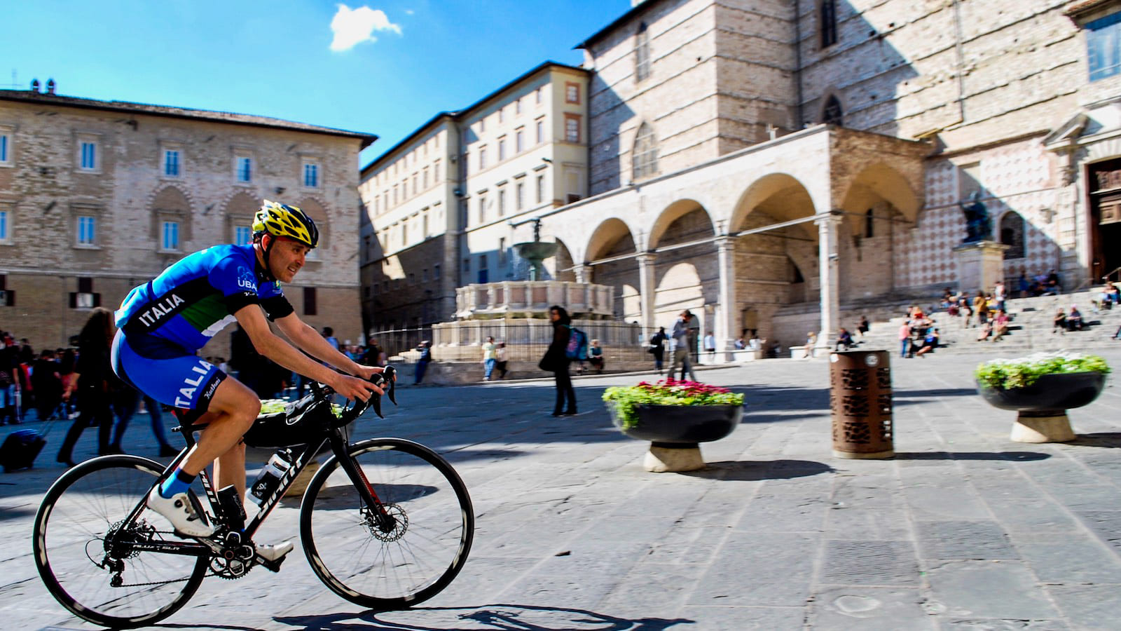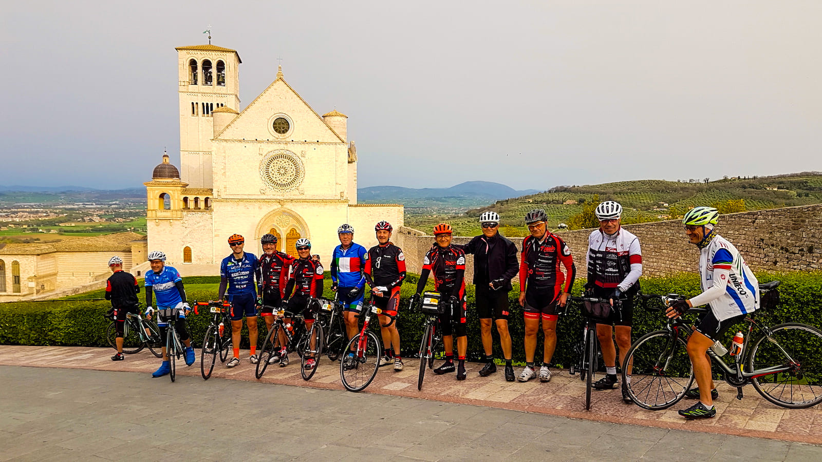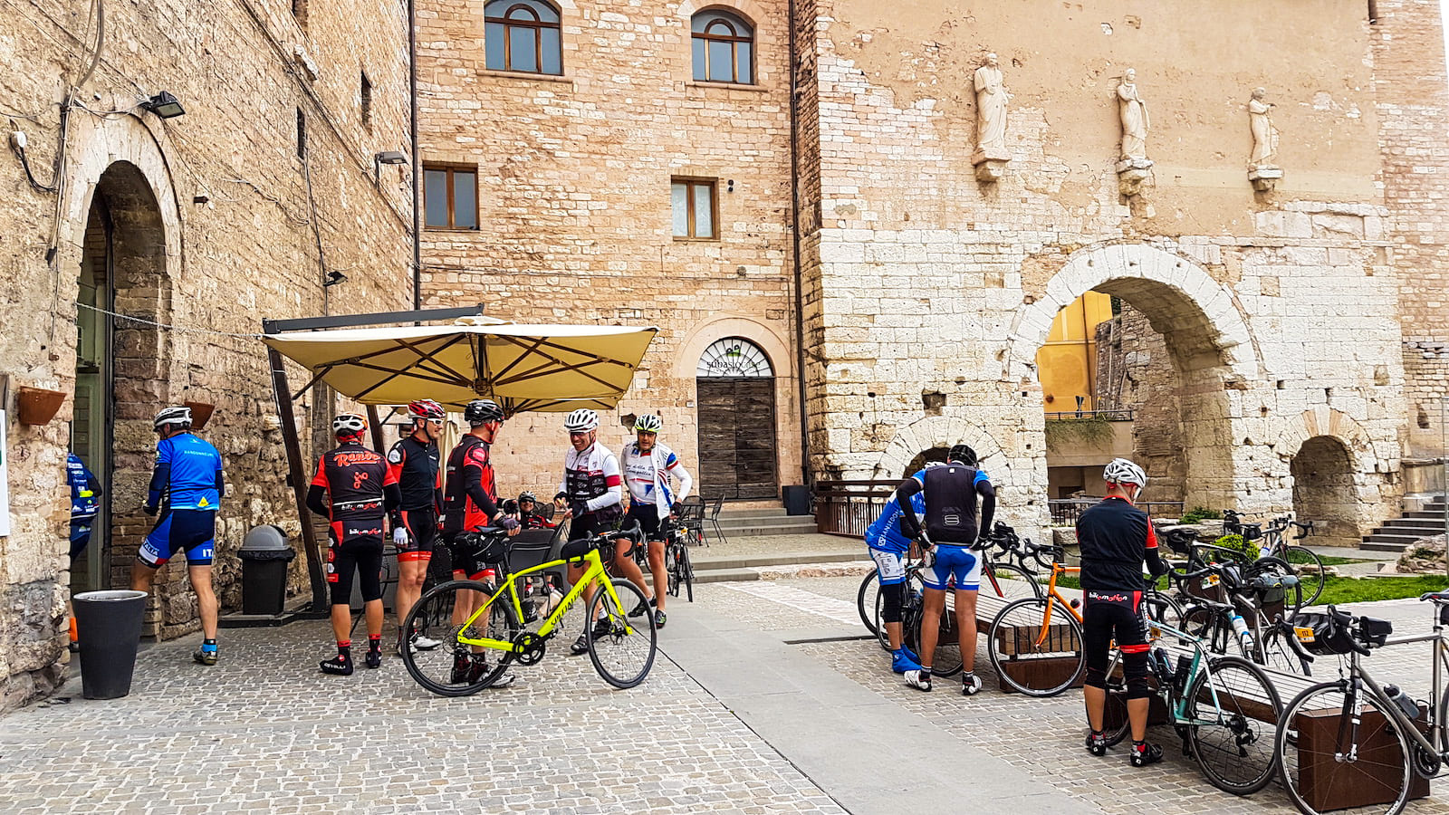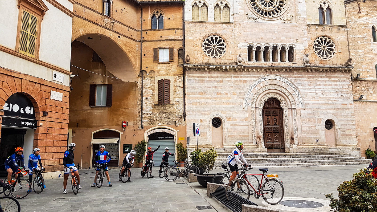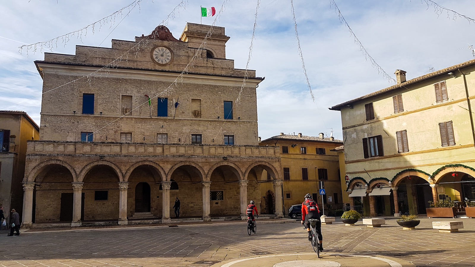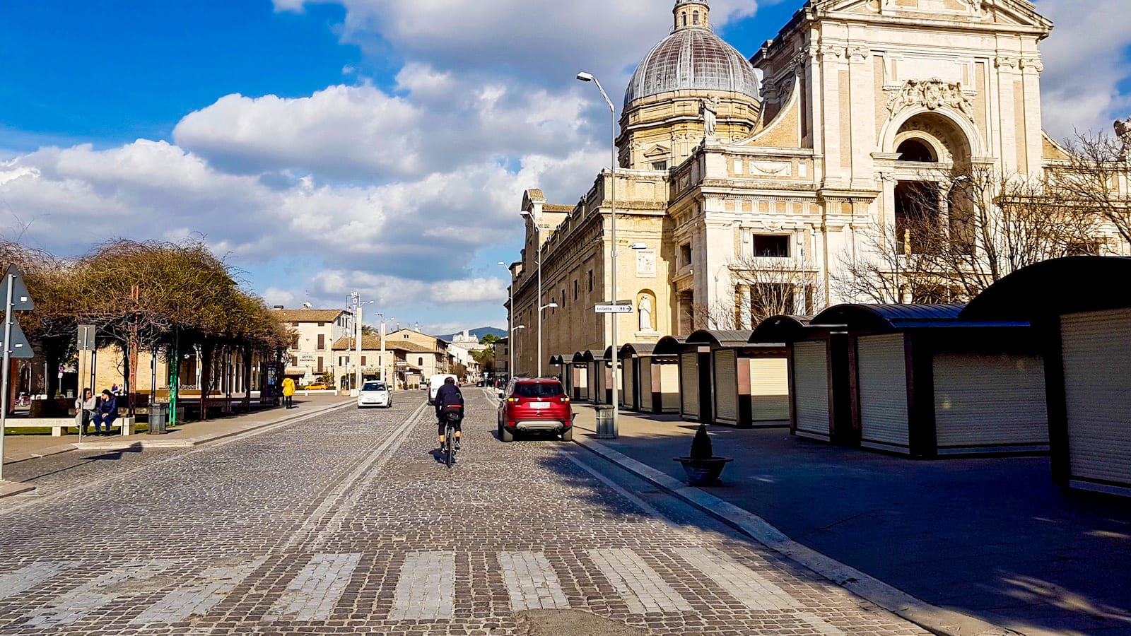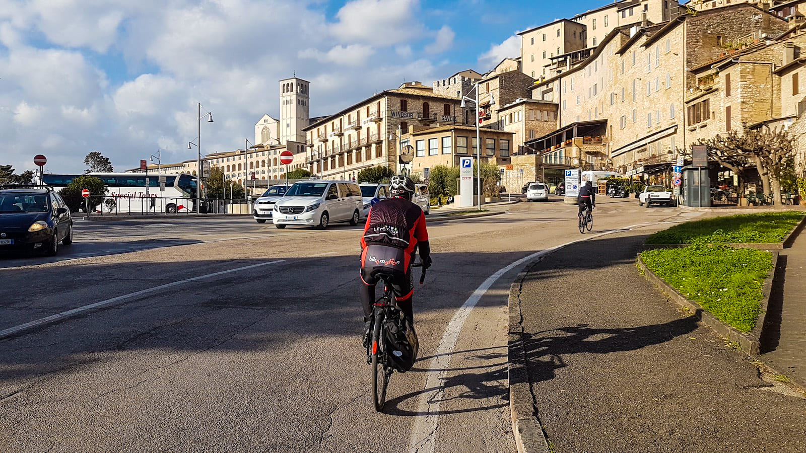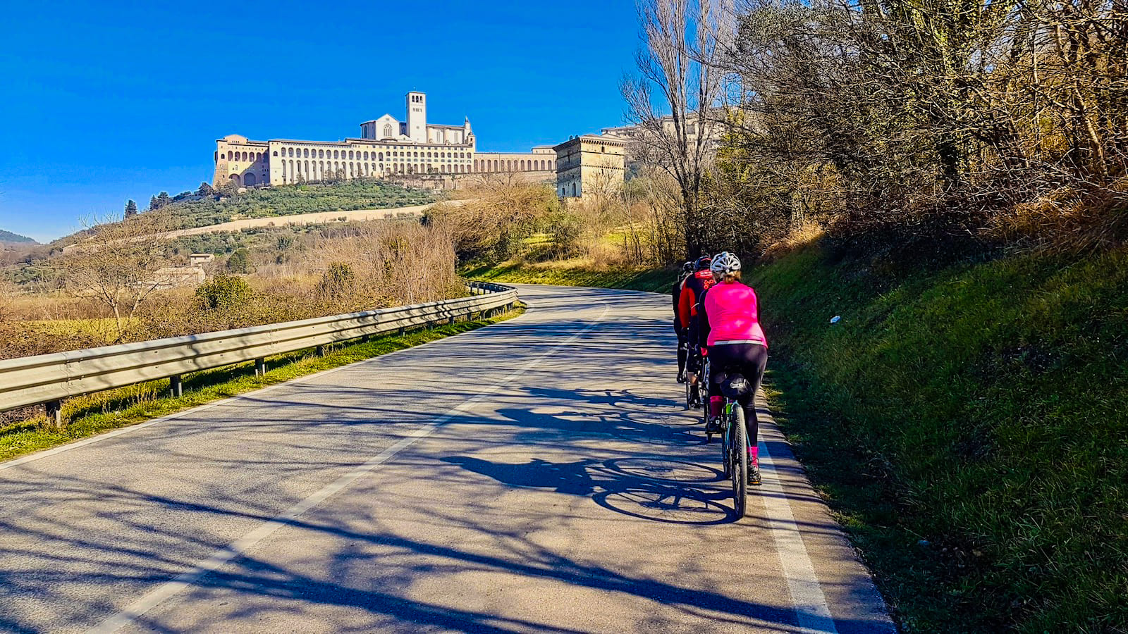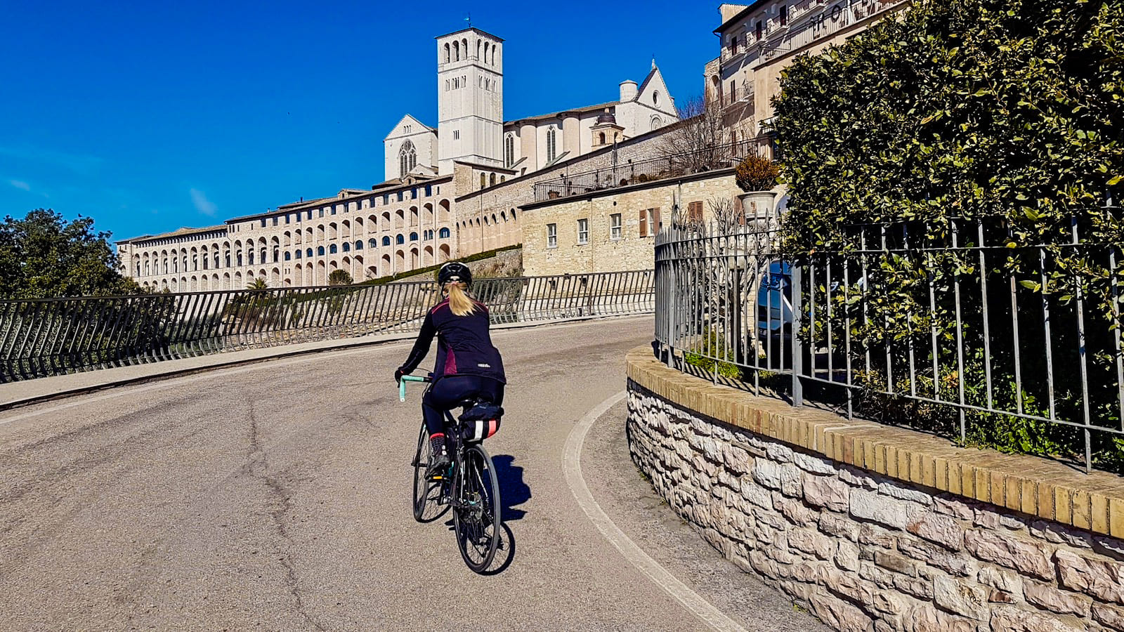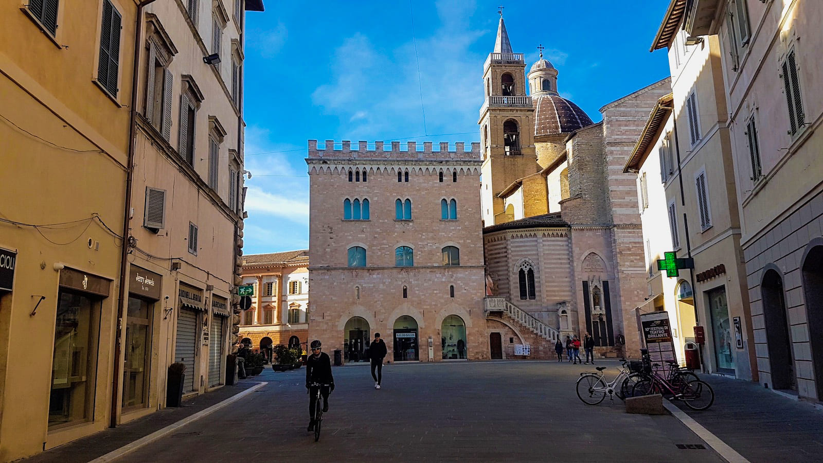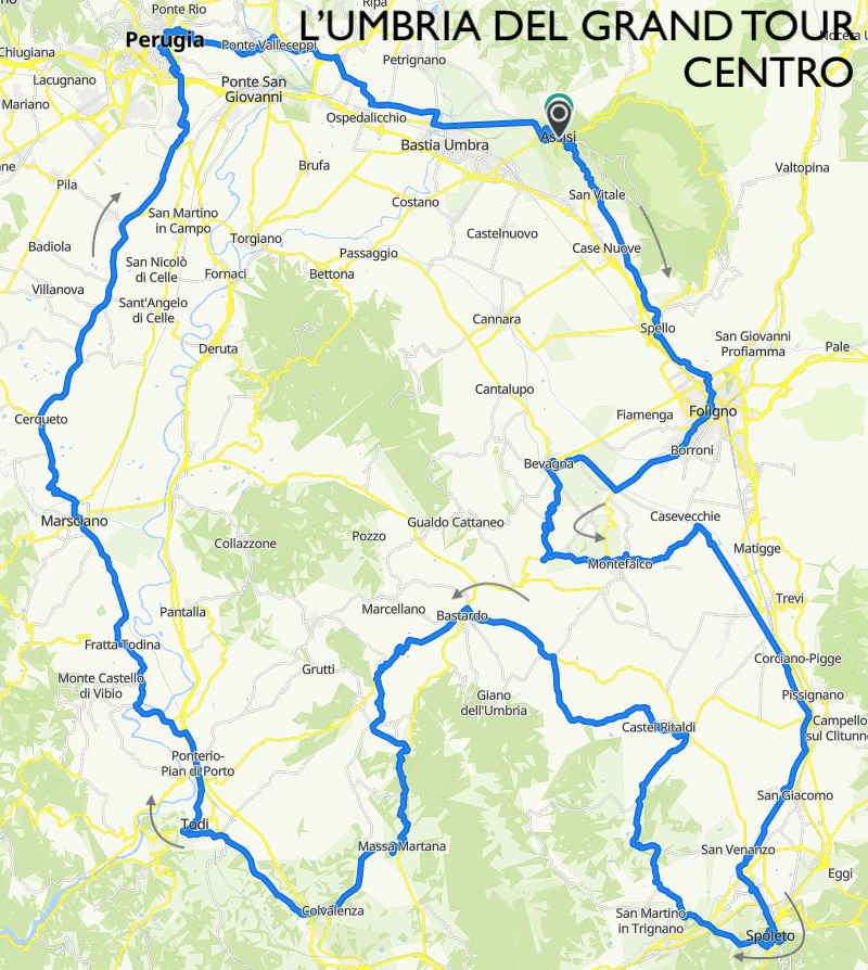
Il percorso si snoda tra la Valle Umbra, che si estende da Perugia a Spoleto, e la Valle Tiberina da Todi a Perugia, attraversando i monti Martani, tra Spoleto e Todi, e le colline che caratterizzano il paesaggio Umbro. Come tutti gli anelli del Brevetto, i percorsi attraversano i centri urbani, compresi i centri storici dove la circolazione delle auto è vietata. Così si possono esplorare le vie e le piazze di Assisi, Spello, Foligno, Bevagna, Montefalco, Spoleto, Massa Martana, Todi, Marsciano, Perugia. Si tratta di un percorso bellissimo dove storia, cultura, arte, enogastronomia e paesaggio si mescolano in modo sorprendente.
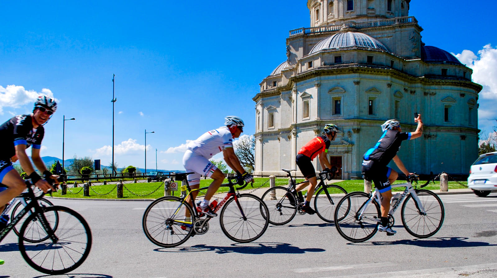
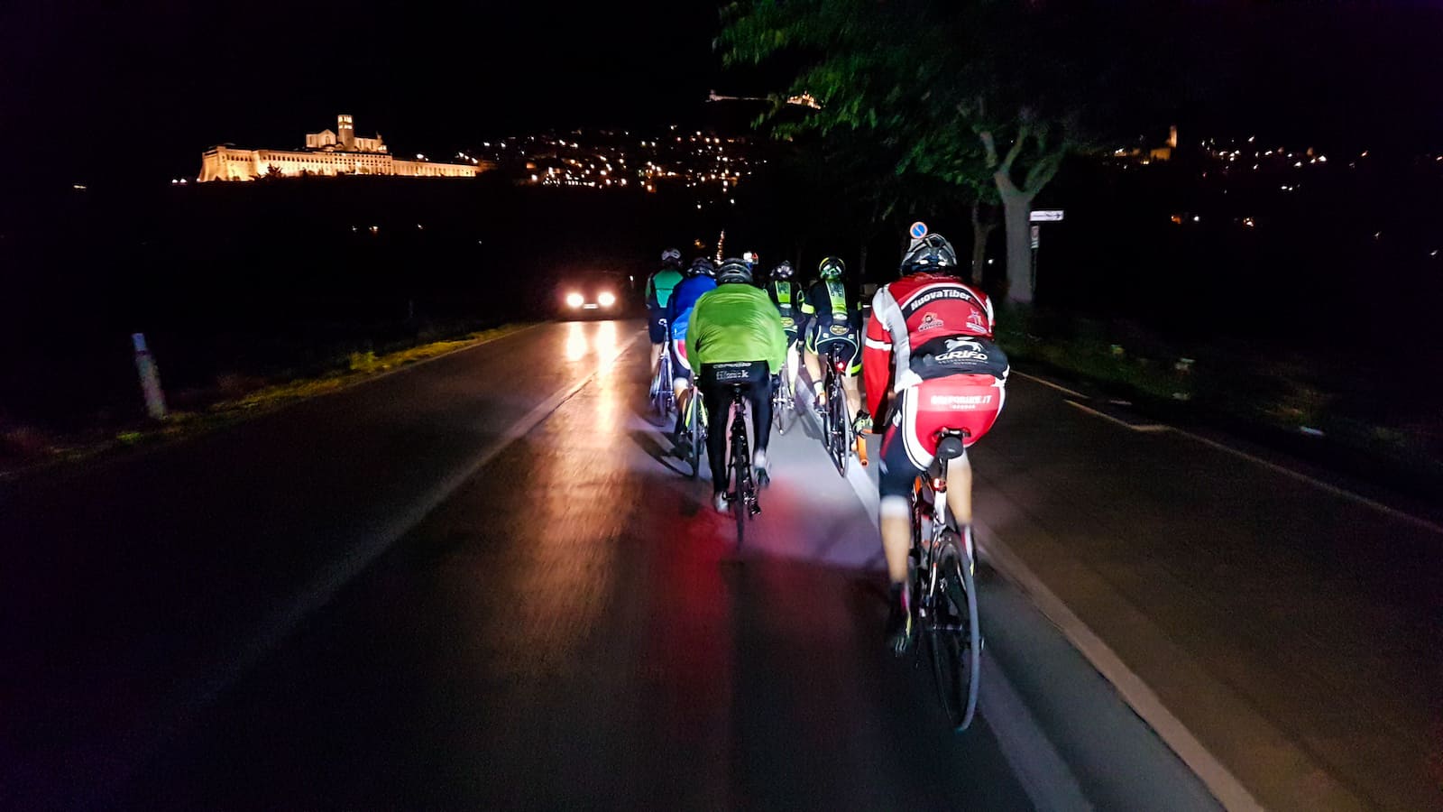
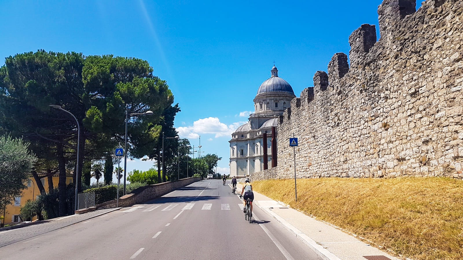
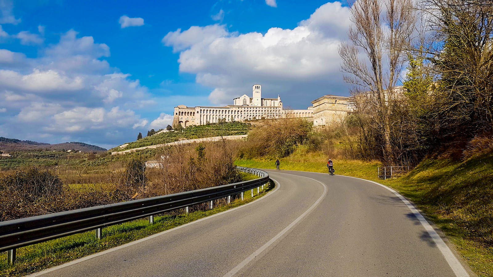
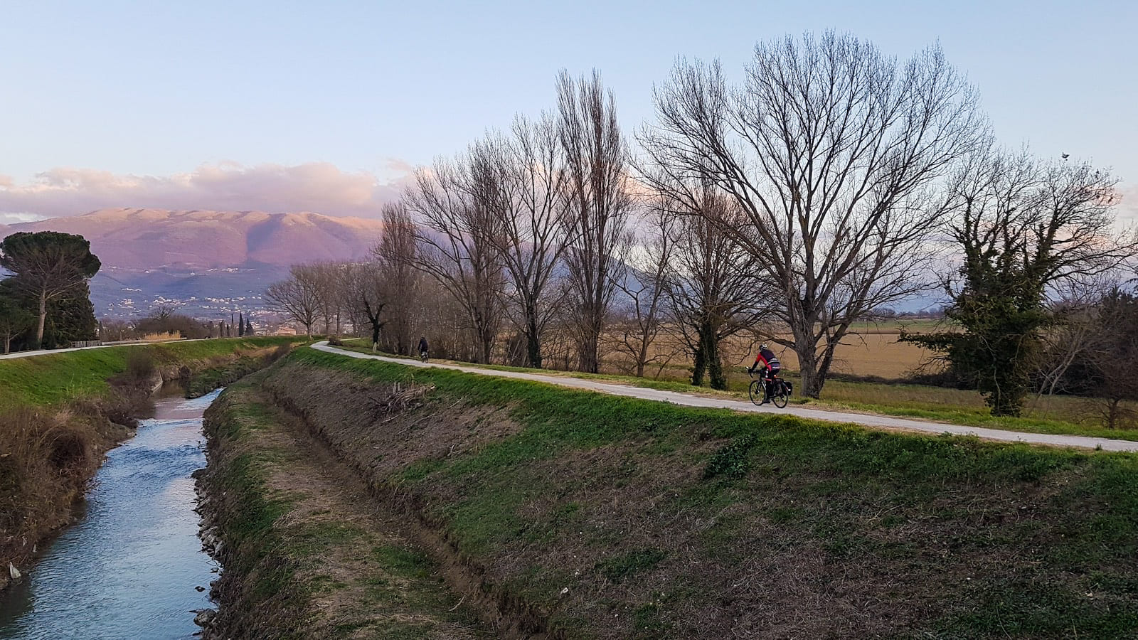
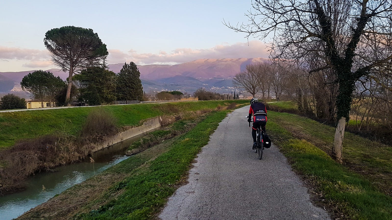
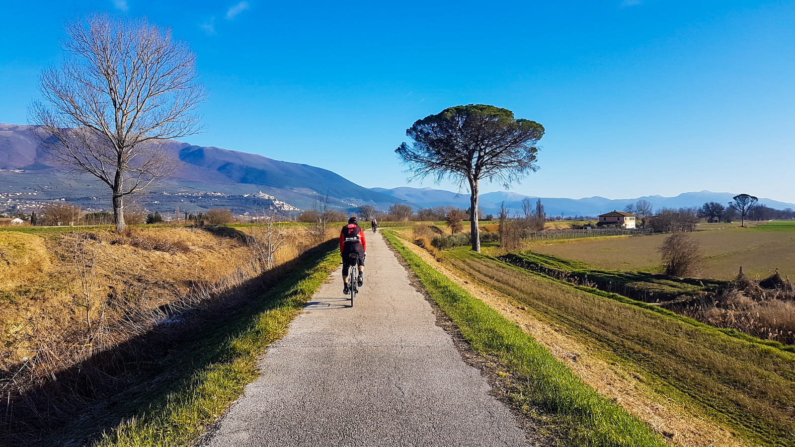
Lungo la Valle Umbra si percorre un lungo tratto della Ciclabile Assisi-Spoleto. Le salite non sono particolarmente impegnative ma la maggior parte dei centri che si attraversano sono posti su alture e per raggiungerli bisogna affrontare delle brevi salite e anche discese ripide e bisogna fare molta attenzione.Complessivamente il percorso è prevalentemente collinare e pianeggiante, su strade poco trafficate e con un fondo stradale asfaltato e in buono stato.
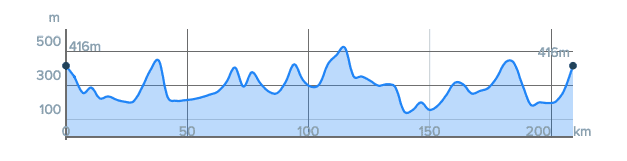
L'anello misura 208 km con un dislivello complessivo di 2600 m.
The route winds between the Umbrian Valley, which extends from Perugia to Spoleto, and the Tiberina Valley from Todi to Perugia, crossing the Martani mountains, between Spoleto and Todi, and the hills that characterize the Umbrian landscape. Like all the rings of the Patent, the routes cross the urban centers, including the historical centers where the movement of cars is prohibited. So you can explore the streets and squares of Assisi, Spello, Foligno, Bevagna, Montefalco, Spoleto, Massa Martana, Todi, Marsciano, Perugia. It is a beautiful path where history, culture, art, food and wine and landscape mix in a surprising way.
Along the Umbrian Valley you travel a long stretch of the Assisi-Spoleto cycle path. The climbs are not particularly demanding but most of the centers you cross are located on the heights and to reach them you have to face short climbs and also steep descents and you must be very careful. Overall the route is mainly hilly and flat, on roads with little traffic and with a paved road surface in good condition.
The ring measures 208 km with a total height difference of 2600 m.